Historical Maps and Plans of Stanford
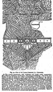
Frederick Law Olmsted’s plan for the University, version published in 1888 in Plan of the Leland Stanford Jr., University. Garden and Forest, Dec. 19: 506. (Typescript of the published article.) PDF of map only. Original in University Archives.
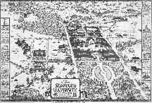
Della Taylor. 1924. Stanford Campus, Stanford University Press. 11 × 17 inches. Karen Bartholomew collection. full-size map 1 MB PDF.
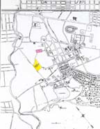
Campus 1934 showing Nursery (pink) and Experimental Orchard (yellow) sites.
Edward Farmer. 1934. Stanford Campus. Sara Timby collection. B/W 1.1 MB
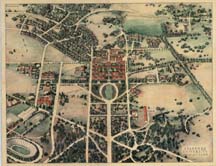
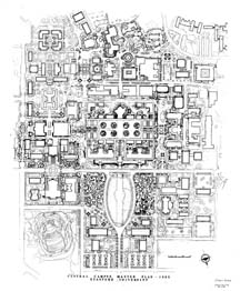
Thomas Church. 1965. Central Campus Master Plan, 1965. 32 x 39 inches. UARCH MAP 719. full-size map 2.5 M. PDF.
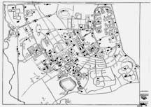
Dirk Schroder. 1969. Tree-Planting Data. Maps and Records. Record Group ML0146.
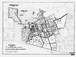
W.E. Parker. 1972. Tree Count. Maps and Records. Record Group ML0146.
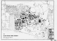
Dirk Schroder. 1975. Elm Trees. Maps and Records. Record Group ML0146. Related document: Schroder, Dirk. 1975. Elm Trees on Campus.
Graeve, Ingrid. Bonair 340 Planting Plan (PDF)
